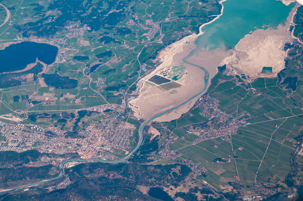
Satellite Imagery for Mineral Exploration

How Satellite Imagery is Used in Mineral Exploration Satellite imagery plays a crucial role in modern mineral exploration, offering a bird’s eye view of the Earth’s surface with unparalleled detail and coverage. By leveraging satellite data, geologists and mining companies can efficiently identify potential mineral deposits based on distinctive geological features and anomalies. These images […]
